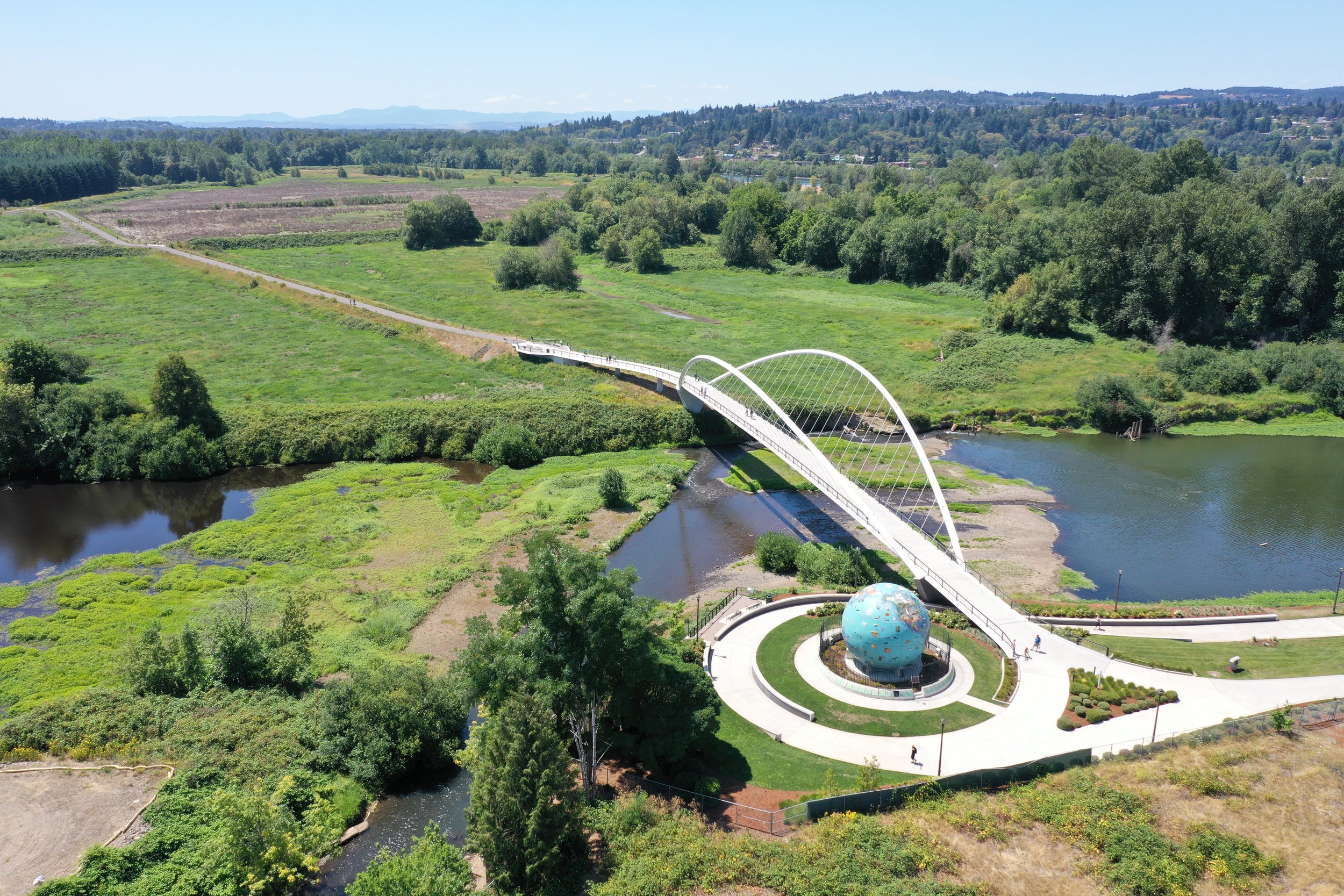
Gateway Green
/Each year in East Portland, more than 65 million people whiz right by Portland’s newest urban bike park in cars and trains.
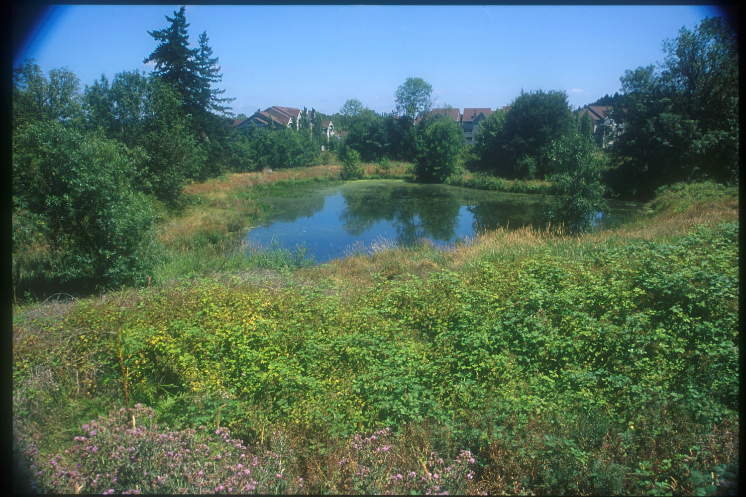
It’s a thin, 25-acre island of trees and meadows that undulates in the center of eleven lanes of traffic, four entrance and exit ramps, the TriMet Red line, Union Pacific freight train tracks, and the I-205 multi-use path. With so much transit happening around it, you’d think the land that’s now known as Gateway Green would be useless.
But visit the park and you’ll immediately realize it’s a treasure. This is because the site was reimagined with the help of a nearly twenty-year effort that began with two community members who saw the opportunity to reuse a piece of the "right-of-way" land to make East Portland better. Interest in the site touched so many different agencies that the Oregon Governor's office got involved to help smooth the way for the project's success.
Read the whole story on our blog
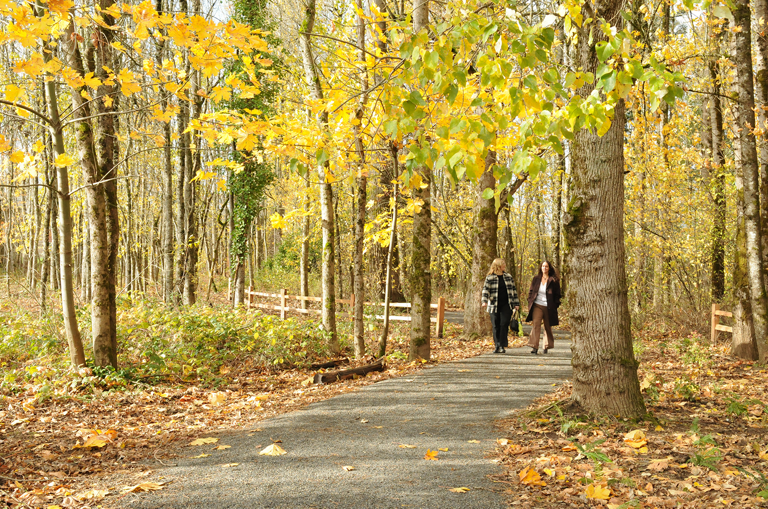
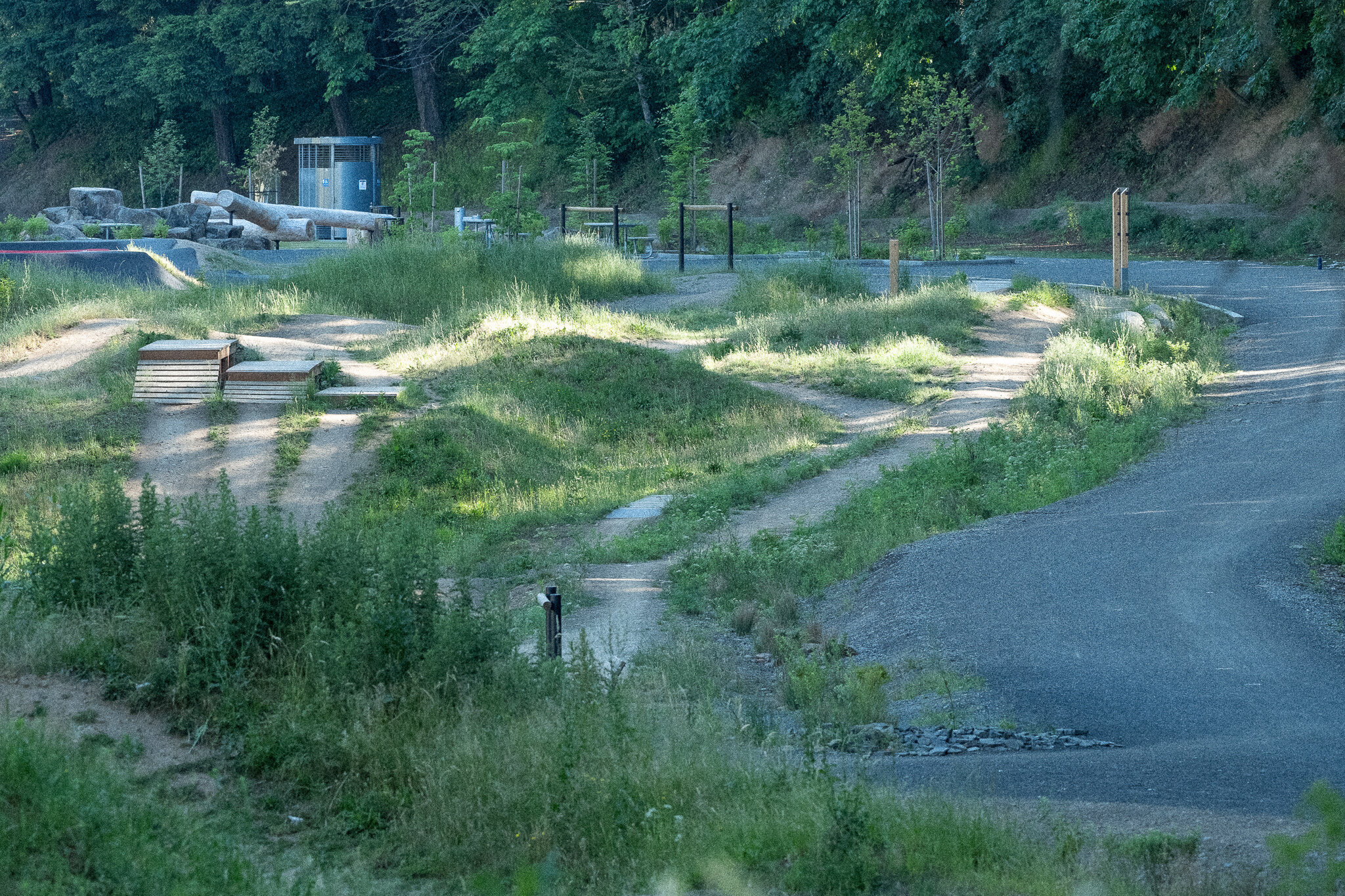
Gateway Green is a surprisingly nice place to ride off road, and once you get going, noise from the cars and trains just fades into the background. The project is an important step towards providing more space in Portland for people to ride, though more space is still needed.
The park joins a new wave of urban cycling parks like the I-5 Colonnade and Duthie Hill Mountain Bike Parks in Seattle, J.A. and Kathryn Albertson Family Foundation Bike Park in Boise, Highbridge Park in New York City, and Valmont Bike Park in Boulder. But Gateway Green and the I-5 Colonnade are unique among these examples for their adaptive reuse qualities. Adaptive reuse is when an existing place is redeveloped for a purpose other than which it was originally built or designed for.
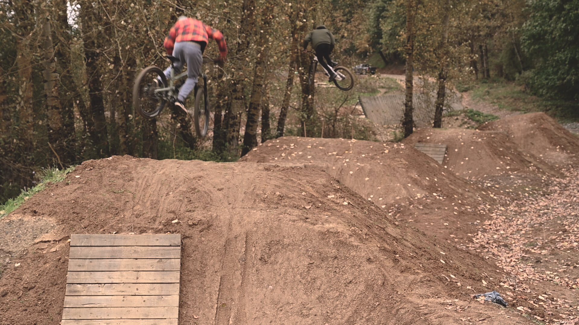
Today, heading northbound on I-205, drivers can quickly glance right to view Ted’s Traverse and Linda’s Line, unlikely urban singletrack trails named for the community leaders who got the whole project started. They envisioned a new place for park-deficient East Portland, and an economic driver for the re-imagining of adjacent Gateway District.
The first phase of Gateway Green opened at the end of 2020. Read about Gateway Green in The Oregonian, Willamette Week, and DJC Oregon.
The 2010 creation of the Friends of Gateway Green (FOGG) jump-started design work after nearly ten years of organizing, planning and negotiating. Robinson and Gilbert began the group and since that time it’s been a primary driver of the project and a key partner of Portland Parks & Recreation (PP&R) in their work developing the site.
By 2012, FoGG began serious fundraising by partnering with Oregon’s Kitchen Table, a community fundraising group.
“...in Oregon’s first major civic crowdfunding effort, 756 people contributed to the project, raising nearly $124,000 (toward a goal of $100,000).” - Oregon Solutions
The money was used to hire David Evans and Associates, GreenWorks, and the International Mountain Biking Association to continue design work on the park. As part of this phase, GreenWorks created graphics to help project boosters generate enthusiasm for the project.
“They entrusted us to execute the vision with them.” GreenWorks Landscape Architect and Project Manager for Gateway Green, Ben Johnson said. “We came, we listened, and came up with a design that worked based on what the community had already figured out.” GreenWorks was hired to improve habitat and access to the site, in partnership with PP&R and FoGG.

FoGG continued to raise money and build momentum for the park’s development and PP&R completed a feasibility study of the project in 2015. With nearly ten years of work completed to this point, it was time for an experiment.
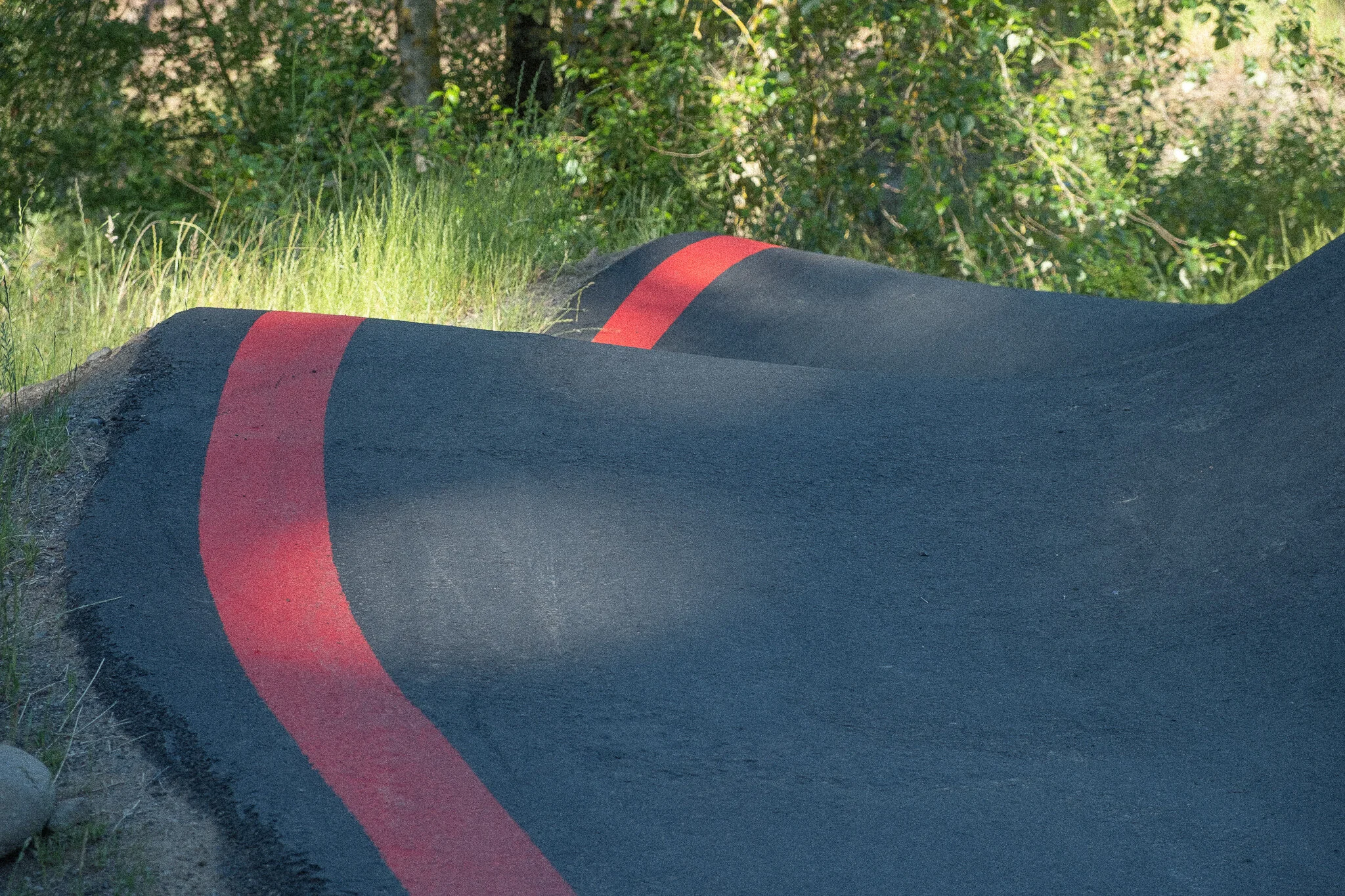
In 2017, to test the viability of Gateway Green, PP&R and FoGG directed the first phase of Gateway Green’s development with The Dirt Lab: improved singletrack trails, a bike skills area, and a cement pump track. The Dirt Lab was built by volunteers and staff organized by the Northwest Trail Alliance (NWTA) and the Community Cycling Center. They continue to maintain the park today. “NWTA, in collaboration with the Portland Parks and Recreation and Friends of Gateway Green, worked for 10 years to design and implement the vision for Gateway Green,” the Northwest Trail Alliance says on their website “Each year, more than 150 volunteers contribute over 750 hours of time to build and maintain the trails and bike skills area known as Dirt Lab.”
Dirt Lab was a hit. The new bike specific facilities gained local and national attention and proved Gilbert and Robinson’s idea was wildly popular. This popularity proved people would ride at Gateway Green when given the access. The success led to the continuation of the project and $5.75 million for the next phase of improvements, $1 million as a Nature in Neighborhoods grant from Metro, and $4.75 million from PP&R.
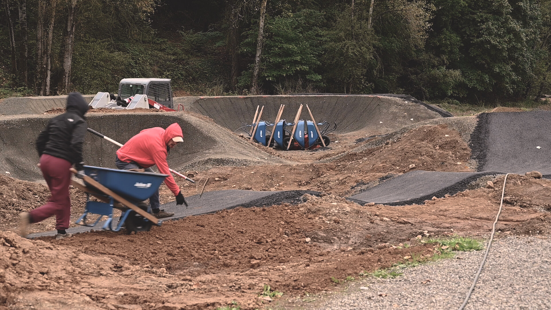
Phase two was when contributions from GreenWorks made the most impact. Using the discipline of landscape architecture, we worked to balance competing interests in the park with regulations and safety considerations, and to actively listen and act according to the work that had already been done at the park. This listening was done through a series of public meetings where community members were invited to share their thoughts on the future of Gateway Green and, later in the process, review proposed designs.
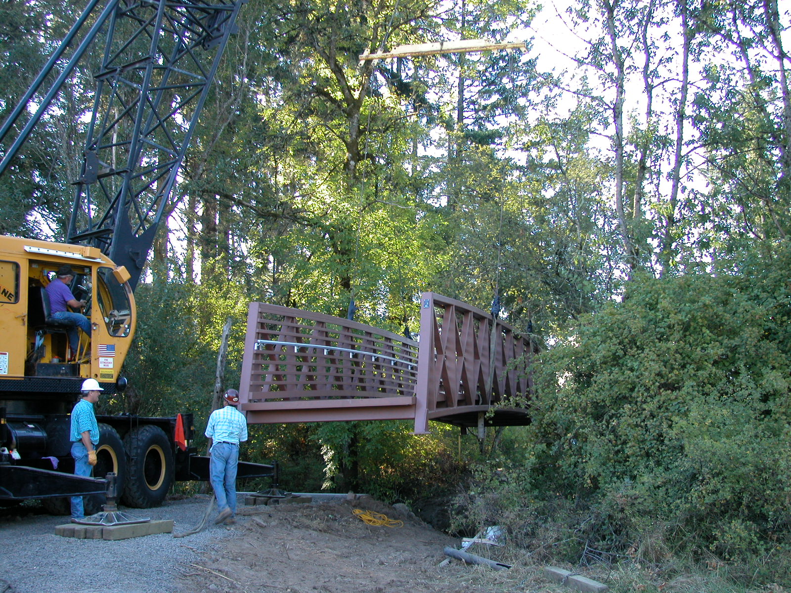
Improvements to the park in phase two included:
Enhanced off-road bike facilities (constructed by others)
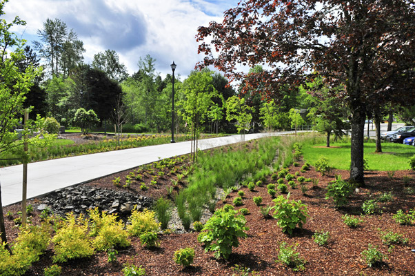
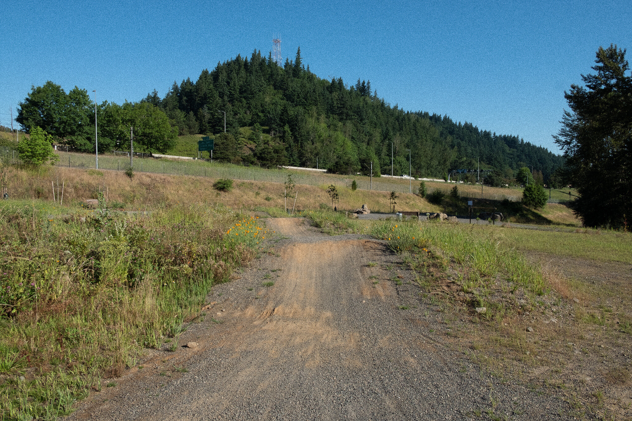
Development of a multi‐use Trail and walking trails
An adaptive cycling course
Creation of an Entry Plaza
Creation of a nature play area
Grading and earthwork to meet ADA regulations and other trail needs
Installation of utilities
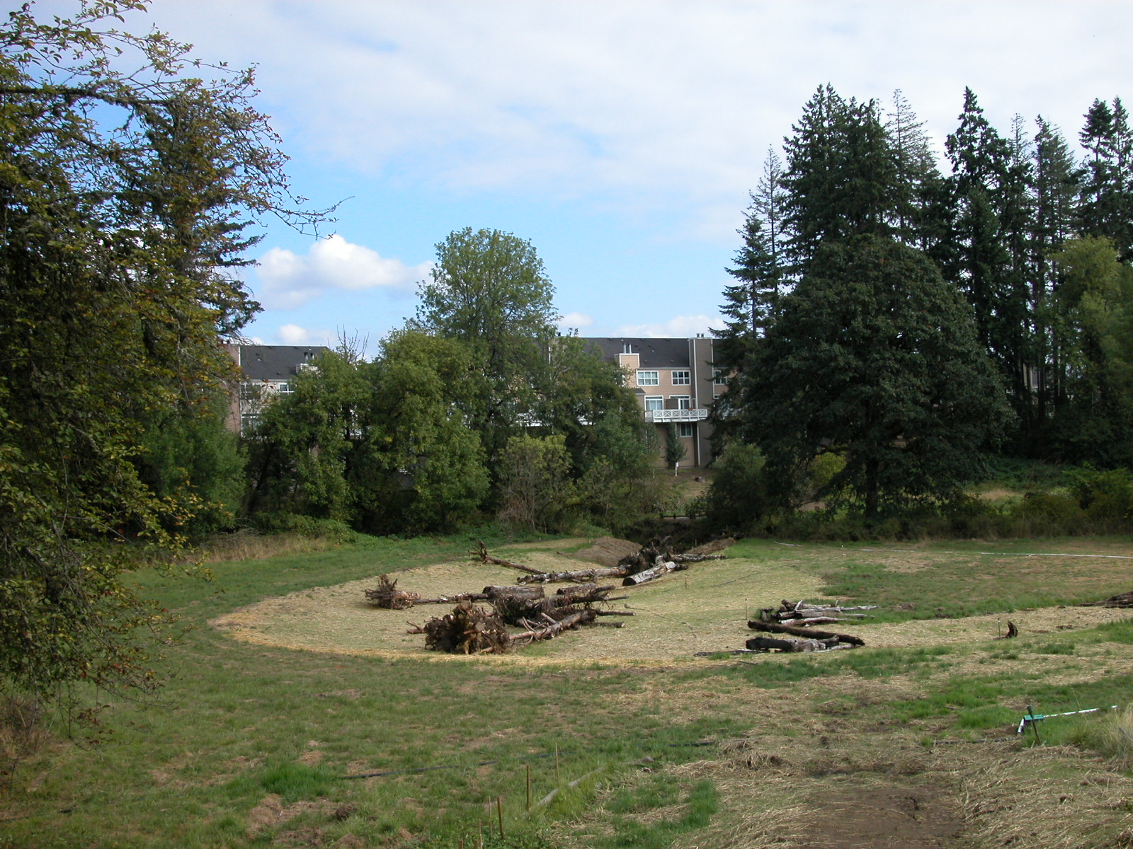
Stormwater management
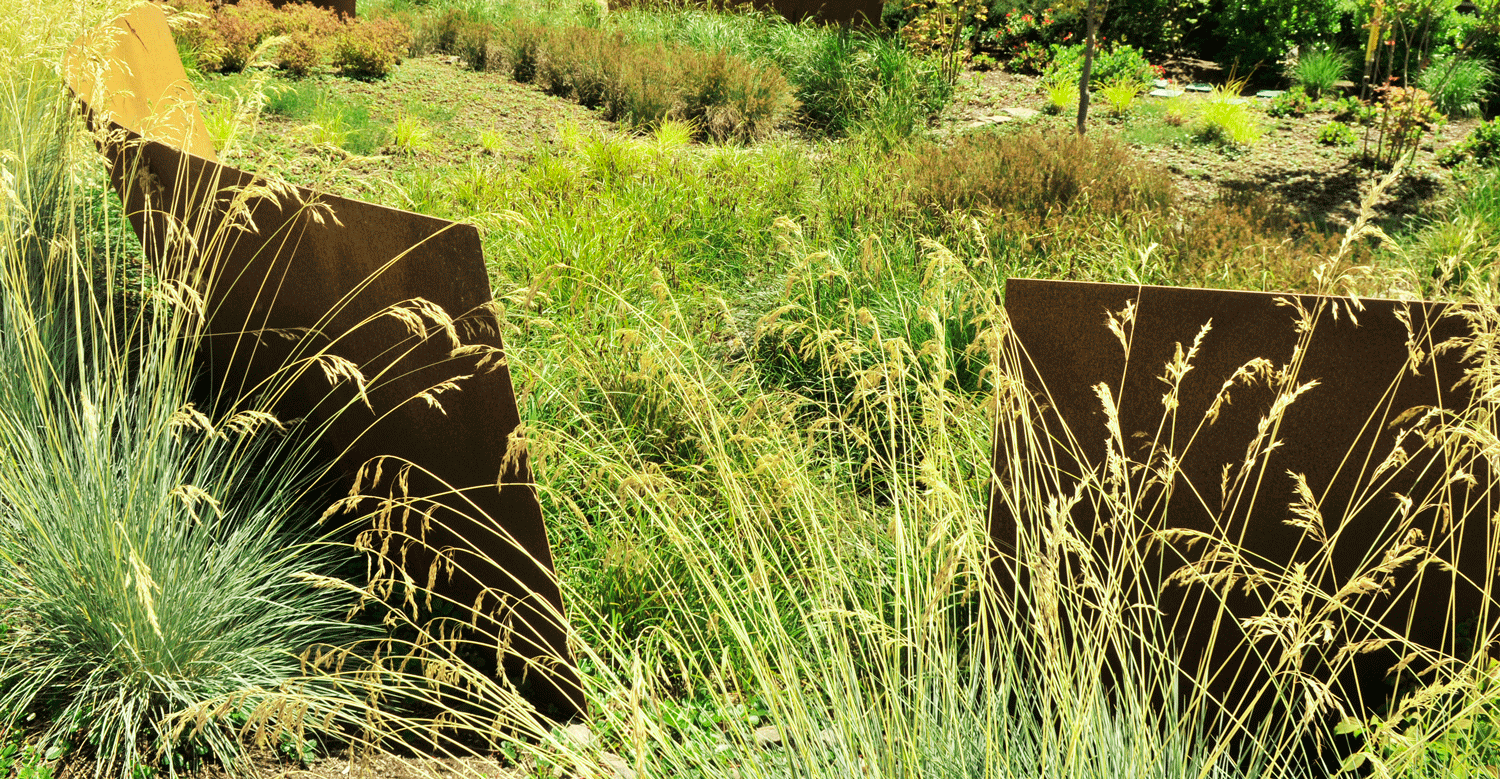
Habitat restoration and plantings
“Throughout the process, the crux of the design challenge has been to create a plan that balances active and passive uses along with innovative urban habitat restoration,” GreenWorks Senior Project Manager and Landscape Architect Ben Johnson said. A major challenge was fitting “the spine,” the multi-use path through the heart of the park, between the gravity lines while maintaining suitable grade changes along Gateway Green’s steep south side. GreenWorks principal Gill Williams, Kelly Stoecklein, and Landscape Architect Matthew Crampton also made significant contributions to the project.
Excitingly, the project incorporated a dedicated adaptive cycling track to provide a place for differently-abled riders to use Gateway Green. The park has an ADA accessible spine, linking riders of all abilities to amenities the entire length of the park, but the gravity lines and skills park are not accessible. The adaptive cycling track, at the north end of the park, was designed with the proper space, slope, sightlines, and obstacles for hand bikes, wheelchair bikes, and trike bikes. The adaptive track at Gateway Green is a small step toward providing more adaptive cycling access to local riders, but it is also the first dedicated adaptive track in Multnomah County.


The following groups have been involved in the development of Gateway Green:
Government
City of Portland
City of Maywood Park
Governor’s Economic Revitalization Team
East Multnomah Soil and Water Conservation District
Metro
Multnomah County
Oregon Department of Transportation, Region 1
Oregon Solutions
Oregon Parks and Recreation Department
Portland Bureau of Parks and Recreation
Portland Bureau of Planning and Sustainability
Portland Bureau of Transportation
Portland Mayor’s Office
TriMet
Private
GreenWorks
PBS Engineering & Environmental
3J Consulting
Morgan Holen & Associates
Geotechnics
Environmental Management Systems
C2 Recreation
Sparks + Sullivan
Raimore Construction
Miller Factors
Sasquatch Trails
Chris King Precision Components
David Evans and Associates
SERA Architects
The Bike Gallery
The Lumberyard
Nonprofit Organizations
Friends of Gateway Green
Central Northeast Neighbors
Community Cycling Center
Eastminster Presbyterian Church
International Mountain Biking Association
Mt. Hood Community College
Northwest Trail Alliance
Oregon Sports Authority
Travel Oregon
Did we miss an important detail or get something wrong? Send us an email here to let us know.